
Description
📘 Chapter Five: Map Work – Form 1 Study Guide
Master the Art of Map Reading, Interpretation, and Practical Navigation
🗺️ What Is This Chapter About?
This chapter introduces the fundamental concepts of map reading and interpretation. It covers the definition of a map, its essential components, how to measure distances and areas, how to locate positions using bearings and grid references, and the various uses of maps in everyday life and specialized fields.
✅ What You’ll Learn Inside
🔹 The Concept of a Map
Origin – From Medieval Latin “mappa mundi” (“mappa” = napkin/cloth, “mundi” = world)
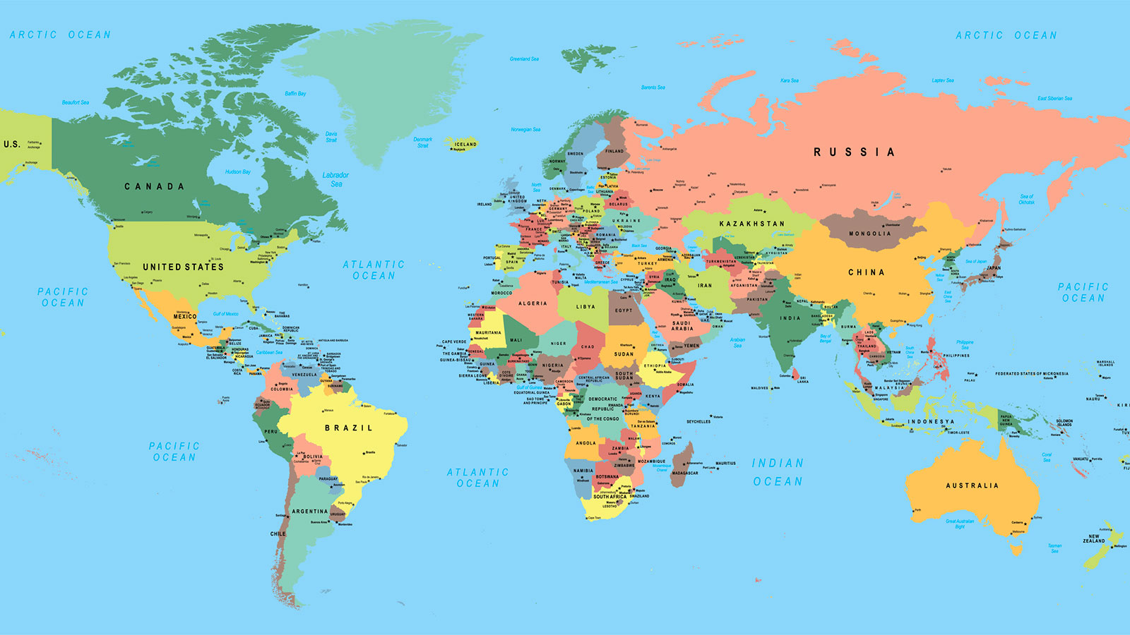
Definition – A representation of the whole or part of the earth’s surface drawn to scale on a flat surface, as viewed vertically from above
Key Characteristics:
Drawn to scale
Uses conventional signs and symbols (interpreted using a key/legend)
Shows features from an aerial view
Cartography – The science of drawing maps; a person who makes maps is a Cartographer
Types of Maps:
Topographical Maps – Show both natural and man-made features in detail (relief, drainage, vegetation, settlements, roads, railways)
Statistical (Distribution) Maps – Show the distribution of phenomena like rainfall, temperature, population, minerals, and crops
Tanzania Example – Topographic map of Kilimanjaro region; rainfall distribution map of Tanzania; mineral deposits in Geita and Manyara
🔹 Components of a Map
Title – Tells what the map is about
Key (Legend) – Explains the meaning of symbols and signs
Margin (Frame) – Boundary line enclosing the map area
North Direction – Arrow showing True North
Scale – Relationship between map distance and ground distance
Date of Production – When the map was created or last updated
Publisher’s Name – Organization that produced the map
Symbols and Signs – The “alphabet of maps”
Symbols look like the features they represent (e.g., tree for forest)
Signs are conventional and standardized (e.g., dot for a town)
Colours – Blue for water, green for vegetation, brown for relief
🔹 Map Scale
Definition – The ratio between map distance and actual ground distance
Types of Map Scales:
Small Scale – Large denominator (e.g., 1:250,000); shows large area, few details
Medium Scale – Between small and large (e.g., 1:50,000); moderate area and detail
Large Scale – Small denominator (e.g., 1:10,000); shows small area, many details
Ways of Expressing Map Scale:
As a Statement – “One centimetre represents one kilometre”
As a Representative Fraction (R.F.) – 1:50,000 or 1/50,000
As a Linear Scale (Graphic Scale) – Graduated line drawn on the map
Scale Conversion:
Converting R.F. to Statement Scale
Converting Statement to R.F. Scale
Converting Linear Scale to R.F.
🔹 Quantitative Information on Maps
Measurement of Distance:
Straight Distances – Use a ruler or piece of paper
Curved Distances – Use a piece of paper, pair of dividers, or thread/string
Measurement of Area:
Regular Shapes – Use formulas (length × width, etc.)
Irregular Shapes – Use the Grid Method (Square Method) or Stripping Method
Locating Positions on a Map:
Bearing (Compass Bearing) – Direction measured in degrees clockwise from True North
Rules: Measure from North (0°), measure clockwise, write with three digits (e.g., 045°)
Compass Directions: Cardinal (N, E, S, W), Intercardinal (NE, SE, SW, NW), 16-Point Compass
Direction – Line along which something lies or points
The Three Norths:
True North – Direction towards the North Pole
Magnetic North – Direction the magnetic needle points
Grid North – Direction of vertical grid lines on a topographical map
Grid Reference:
Eastings – Vertical grid lines read first (increase eastwards)
Northings – Horizontal grid lines read second (increase northwards)
Four-Figure Grid Reference – Locates a grid square
Six-Figure Grid Reference – Locates a point within a square
🔹 Uses of Maps
Showing Distribution – Climate, population, minerals, crops, vegetation
Planning and Construction – Roads, railways, airports, farms, settlements
Geological Surveys – Mineral exploration and rock formation mapping
Military Activities – Navigation, strategic planning, tactical maneuvers
Aviation and Navigation – Aeronautical and nautical charts
Travel and Tourism – Locating destinations and exploring new areas
Legal Documents – Land ownership, property boundaries, administrative divisions
Tanzania Examples:
Distribution of coffee-growing regions in Kagera and Mbeya
Gold mines in Geita and Shinyanga
Planning the Standard Gauge Railway (SGR) from Dar es Salaam to Dodoma
🎯 Key Features
10 Clear Summary Points for quick revision
5 Short-Answer Questions to test understanding
10 Structured Questions for deeper analysis
5 Essay Questions for critical thinking and exam preparation
Real Tanzanian Examples throughout — Kilimanjaro, Geita, Manyara, Dar es Salaam, Dodoma, SGR
Step-by-Step Calculations for scale conversion and area measurement
Diagrams and Procedures for easy comprehension
👨🎓 Who Is This For?
Form 1 Students beginning their secondary geography course
Teachers looking for a well-structured, ready-to-use teaching resource
Parents supporting their children’s learning at home
Anyone preparing for national examinations (NECTA)
💡 Why Choose This Guide?
✔ Aligned with the Tanzanian secondary school syllabus
✔ Written in clear, simple English for easy comprehension
✔ Packed with local examples students can relate to
✔ Includes practice questions with varying difficulty levels
✔ Perfect for classroom teaching, self-study, and revision
✔ Covers cross-topic connections (links to Chapters 1–4)
📥 Get Your Copy Today!
Whether you’re a student aiming for top marks, a teacher preparing engaging lessons, or a parent investing in your child’s academic success — Chapter Five: Map Work is your essential companion for mastering the art of map reading and interpretation.
Start mastering maps today!
📚 Also Available:
Chapter One: The Concept of Geography
Chapter Two: The Solar System
Chapter Three: Major Features of the Earth’s Surface
Chapter Four: Weather and Climate
The perfect companions to build a strong foundation in geography.
MITIHANI POPOTE — Quality educational resources wherever you are.




Reviews
There are no reviews yet.